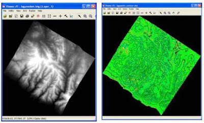
Leica Photogrammetry Suite LPS Terrain Editor photogrammetry software provide you with point, area, and geomorphic-based editing tools that help you edit DTMs in many formats. Terrain Editor uses the digital aerial photogrammetry stereo environment of View plex to enable you to see your DTMs in 3D, which enhances your ability to edit 3d aerial terrain.

Once DTMs have been automatically extracted using Photogrammetry software LPS Automatic Terrain Extraction (ATE), you can verify the quality of the output DTM by viewing it overlaid on top of the stereo model from which it was generated. The stereo model serves as a reference source for ensuring that the DTM is, in fact, correct. If the mass points associated with a TIN or a raster terrain dataset do not “sit” on the surface of the earth, you can use specific DTM editing tools available in Terrain Editor to ensure that the terrain dataset does conform to the earth’s surface.
The automated DTM extraction process using photogrammetry software commonly has difficulty in urban areas specifically, around buildings, bridges, trees, and other extruding features on the earth’s surface. In these instances, you have to edit the initial mass points and reshape them so that the fit, reflect, and represent the earth’s surface. Because accurate DTMs are required for the ortho mosaicking process, you need to ensure the DTM accurately reflects the ground. Otherwise, the resulting orthos will have less than optimal quality. Accurate DTMs are also required to create 3D visualizations and simulations using photogrammetry software IMAGINE Virtual GIS. If the DTMs do not accurately reflect the terrain and features on the earth’s surface, the quality of the 3D visualization will be very low. DTMs are also edited to add more detail to the terrain dataset. For example, you may get a coarse-resolution DTM and want to densify it by adding detail in specific areas. This is done manually, but in order to do so, you need to use the stereo model (imagery) as a backdrop so as to ensure that the new DTM points actually are on the Earth’s terrain.


