
Here you will find some useful Photogrammetry definitions of everyday terms.
Photogrammetry definition of Aerotriangulation
A photogrammetric method of intensifying a ground control network. Involves measuring all known points along with additional points marked on the photography. Positions of the unknowns are computed treating all the photographs as one large block.
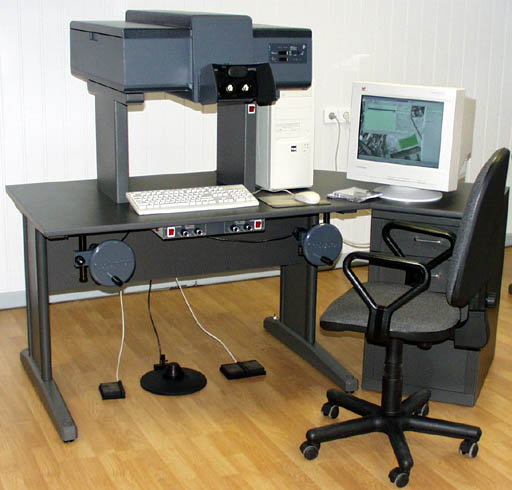
Photogrammetry definition of Analytical Stereoplotter
A photogrammetric instrument which uses electronics, motors, and lenses to view two overlapping aerial photos in 3-D. The stereoplotter corrects for distortions caused by rotations in the camera and relief displacement. This allows the operator to view the stereo model in a binocular viewing system and make measurements based on the ground coordinate system.
Breakline
Linear features in a vector which define breaks in the terrain. Very important in the creations of the TIN.
Contact print
9" x 9" paper photographic print of an aerial photo used for marking control, mapping limits, and general reference purposes.
Compilation
Term used to describe the process of a technician collecting data using a stereoplotter.
Contour
Lines of equal elevation traced on a map to graphically display the shape of the ground. Formerly traced by the technician using a stereo instrument, most contours are now generated from a digital terrain model.
DEM
Digital Elevation Model, one of many names used to describe a file describing terrain shape. Usually used to describe a raster file created for further processing.
Diapositive
9" x 9" film positive of an aerial photo, used in the stereo plotter for making measurements. Used because light can be transmitted through them into the viewing system.
Distortion
Anything that moves an object from it's true position in an aerial photo. Can be caused by the rotation of the camera about the XYZ axis, elevations changes, and even the distance away from the center of the photo.
DTM
Digital Terrain Model, one of many names used to describe a file describing terrain shape. Usually used to describe the raw data as collected by field or photogrammetric methods. Typically digitized as a combination of breaklines and random (or grid) spot readings


