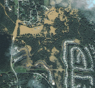
High resolution aerial photogrammetry image of Atlanta flood affected area available for free download. This aerial photogrammetry imagery truly demonstrates the value of satellite imagery and remote sensing.
Click on the aerial photogrammetry images below for details.
Satellite Image Credit: DigitalGlobe
Satellite Image Credit: DigitalGlobe


